One-way walking distance
Duration
Level of Intensity
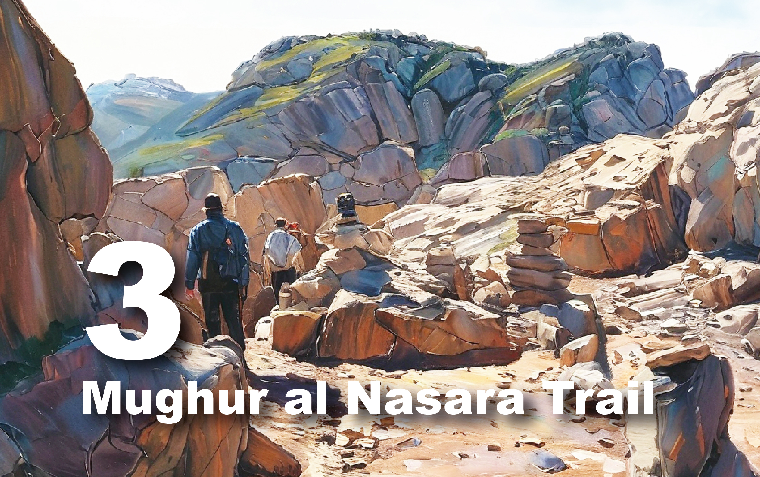
ِِAl Khurma Trail
A Journey Through Time and Nature!
Embark on an adventurous journey along the Al-Khurma Trail, where breathtaking landscapes meet rich archaeological heritage. This challenging trail invites you to explore the stunning beauty of the Petra region while uncovering its historical treasures. Perfect for both nature enthusiasts and history buffs, the trail promises an unforgettable experience. As you hike, you'll encounter diverse flora and fauna, along with unique geological formations that showcase millions of years of history.
Overview
The Al-Khurma Trail spans
approximately 14 km and will take most of the day to complete. Plan your time
carefully to avoid being caught in the dark. Due to the natural terrain, wear
appropriate clothing and sturdy footwear, and follow local guides'
instructions. Be cautious on rocky edges, as this trail can be challenging for
children and the elderly. It’s advisable to inquire before planning your
adventure.
Getting There
To start your adventure, head to the village of Al-Rajef, located 25 km south of the Petra Visitor Center. Here, visitors can stop to purchase light snacks and drinks before continuing west in four-wheel drive vehicles through the Samaan area to the trailhead at Arqoub Al-Ghanimat. Along the way, you can observe archaeological ruins, including Khirbat Al-Samaan.
Trail Details
Preparation Tips
Length
& Challenge: The trail is approximately 9 kilometers long and requires most
of the day to complete. Start early to avoid finishing after dark.
Dress
Appropriately: Wear suitable clothing and sturdy footwear and always follow
your guide’s advice.
Stay
Safe: Watch your step, as many rock cracks are not visible. This trail may be
challenging for children and the elderly, so consult the Petra Visitor Center
before planning your hike.
Best
Visiting Times: Ideal times for visiting are winter (avoiding rainy days due to
flash floods) and spring (when the flora is vibrant).
Hydration
& Snacks: Bring plenty of water and food for the journey.
Locations along this trail

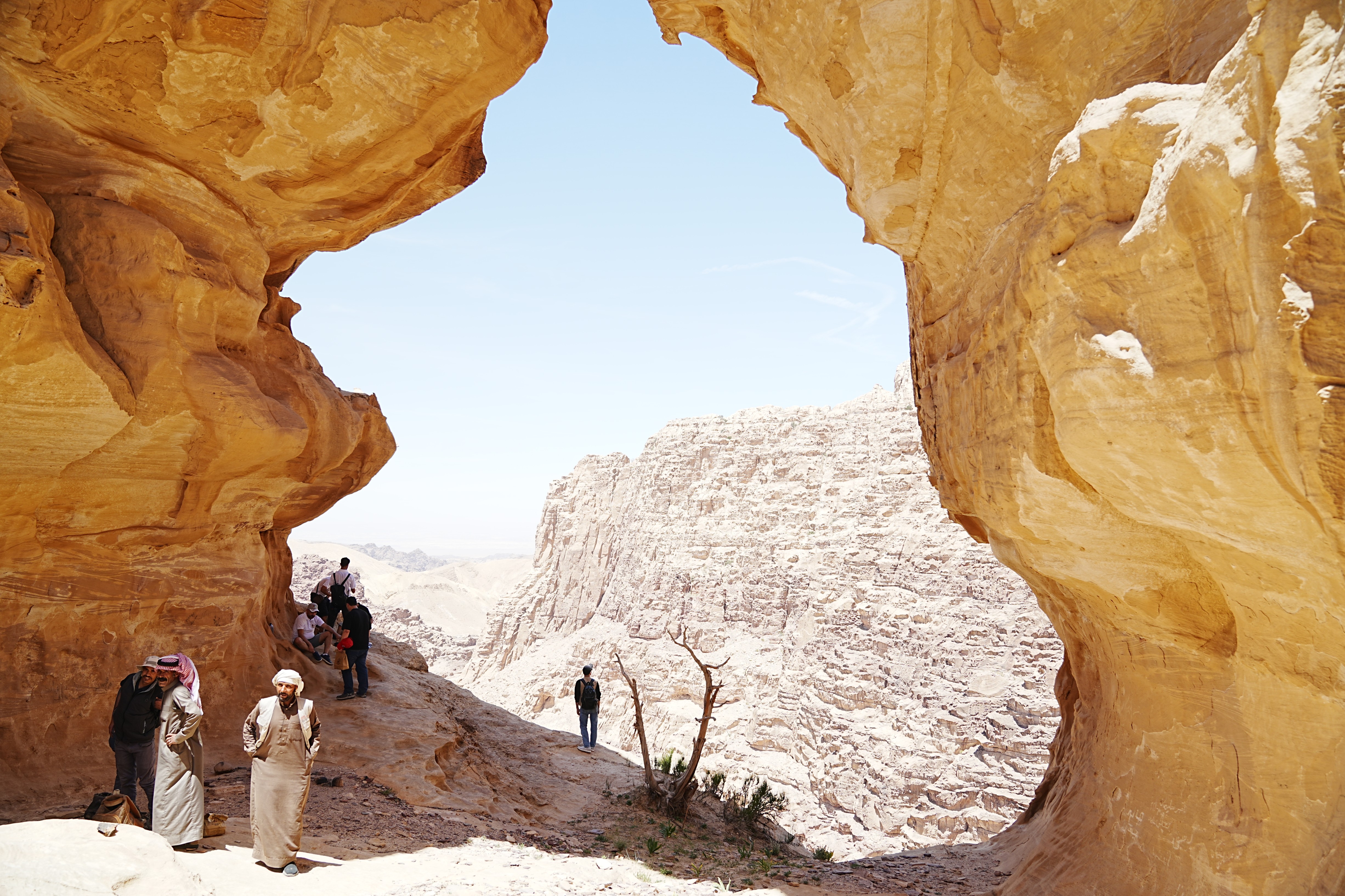
Exploring the Trail
At the starting point marked on the
map, the road descends steeply toward the plateau area -please walk/drive
carefully-. Just off the trail to the north lies the archaeological site of
Al-Munqata'a, meaning "the detached rock." This site, accessible only
by a wooden bridge, features remain from the late Chalcolithic period,
including flint tools and pottery fragments.
Continuing west, the path leads to
Wadi Al-Khurma, renowned for its stunning rock formations and pottery shards
from the Edomite period, linking it to the Qala'a archaeological site above.
After visiting Al-Khurma we ascend to the summit of Jabal
Al-Qala'a, where you’ll encounter a water reservoir similar to those at Jabal
Umm Al-Bayara in Petra.
Approximately 1.8 km southwest of
Al-Munqata'a lies Al-Qulai’ah, located atop Jabal el-Khurm at an elevation of
1000–990 meters. This site, fortified with only one access point, once
controlled the eastern Edomite plateau. Although largely damaged, some walls
remain, indicating a significant Iron II/Edomite structure from the 7th century
BC.
After exploring the Qala'a site, we
proceed to the western entrance of Jabal Al-Qala'a, then head north through a
winding valley to Wadi Al-Khurma. Be aware that signal reception fades in this
area. As we traverse Wadi Al-Khurma, keep an eye out for natural water pools
and continue west to Ain Ma' Mishait, which locals still use for drinking and
irrigation.
From Ain Mishait, take a dirt road
west for about 600 meters, then head north for approximately 250 meters to
encounter several Nabataean ruins known as "the palace." Continuing
north leads us to Wadi Abu 'Aruq, where we then head east toward Al-Sada.
Al-Sada features ancient ruins
indicating continuous habitation, with flint artifacts suggesting Palaeolithic
presence. Evidence of Middle-Palaeolithic and Pre-pottery Neolithic habitation
has also been discovered. The Umm el-'Ala plateau reveals ruins from an Edomite
settlement, showcasing fortifications and Iron II pottery.
Ruins on both banks of the valley date
back to the first millennium BC, showcasing well-preserved houses built of
ashlars, along with Nabataean pottery. The settlement exhibits signs of
agricultural use and includes interconnected structures resembling Edomite
architecture.
On a mountain crest, a building ruin
reveals Nabataean pottery and flint artifacts, hinting at local religious
significance. A nearby settlement with around 25 houses shows a well-preserved
Nabataean lifestyle, supported by accessible water sources.
The Nabataeans significantly improved
water supply with a conduit system built against a cliff, using prefabricated
stones and arches. While some parts remain intact, others have deteriorated,
leading to a cistern that once supplied water for the settlement.
After visiting the Al-Sada site, we return along the Wadi Abu 'Aruq road, crossing the valley until we reach the main road, marking the end of the trail.

Trail/Geological Elements
The
Igneous Rocks in Wadi Araba
The ancient city of Petra is located
in a vast open valley surrounded by rugged mountains of varying colors, from
the pale and solid limestone slopes at the top, through the broken and colorful
sandstones, to the dark and jagged ranges that descend into the Wadi Araba.
These basement formations, part of the
Araba Complex, represent the youngest igneous rocks in the region and reflect a
dynamic geological history marked by volcanic and granitic activity. Visible
along Wadi Siyyagh, Slaysel, and from the monastery, these ancient rocks
provide a foundational backdrop beneath the more recent Umm Ishrin sandstone.
The Umm Ishrin sandstone dominates Petra's landscape, known for its steep, rugged cliffs and colorful, broken formations. The contrast between the ancient Araba Complex and the overlying sandstone illustrates the intricate geological evolution of the area, showcasing the rich and varied history of this remarkable region. This geological diversity has significantly contributed to Petra's designation as a UNESCO World Heritage Site, attracting visitors from around the world to admire its natural beauty and historical significance.