One-way walking distance
Duration
Level of Intensity
Al Mudhlim Trail
Overview
The Mas'ouda 2 trail is a challenging
and scenic loop located within the Petra Regional Authority area, renowned for
its breathtaking landscapes and rich cultural heritage. This trail showcases
the stunning natural beauty of the Petra region while providing insights into
the historical significance of the area, including remnants of ancient water
management systems used by the Nabataeans. As you traverse the trail, you’ll
encounter diverse flora and fauna, along with unique geological formations that
tell the story of millions of years of natural history.
The trail is ideal for adventure
seekers looking to explore off the beaten path. With varying terrain that
includes steep descents, rocky paths, and beautiful valleys, it promises an
exhilarating experience for hikers of all skill levels. However, a good level
of fitness and preparation is recommended to fully enjoy this immersive
adventure.
Getting There
To start your adventure, take a
tourist bus or drive to the village of Dlagha, approximately 30 kilometers
south of the Petra Visitor Center. Along the way, you will pass through
charming villages and picturesque landscapes. Dlagha is known for its
agricultural community and is home to the Sa’idiyyin tribe, nestled on the
western slope of the southern Sharah Mountains.
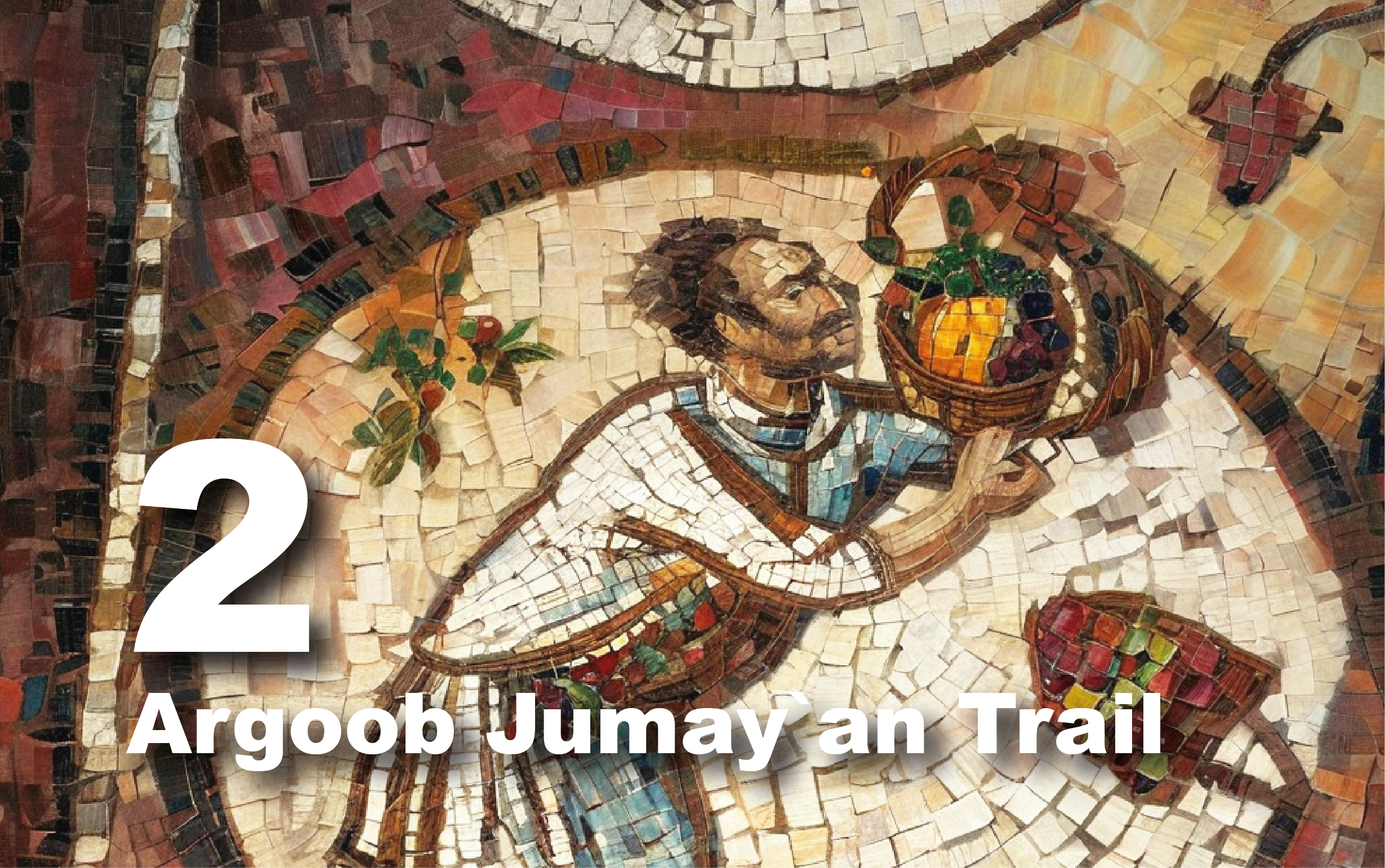
Once in Dlagha, take a moment to purchase light snacks and cold drinks. From Dlagha, continue your journey by car or bus along a scenic road to Arqoub Mas'ouda, the official starting point of the trail. This route offers breathtaking views of the surrounding mountains.
Trail Details
Starting Point: Dlagha/ Massouda/ Argoob Massouda
Endpoint: Massouda/ Argoob Massouda
Category: Heritage/Environmental/Geological
Distance: 9.3 Km/12205 Steps
Calories Burn: 488 Calories
Duration: 5.00 - 5.15 Hours/Non-stop
Grade: Difficult
Tour: Loop
Length
& Challenge: The trail is approximately 9 kilometers long and requires most
of the day to complete. Start early to avoid finishing after dark.
Dress
Appropriately: Wear suitable clothing and sturdy footwear, and always follow
your guide’s advice.
Stay
Safe: Watch your step, as many rock cracks are not visible. This trail may be
challenging for children and the elderly, so consult the Petra Visitor Center
before planning your hike.
Best
Visiting Times: Ideal times for visiting are winter (avoiding rainy days due to
flash floods) and spring (when the flora is vibrant).
Hydration
& Snacks: Bring plenty of water and food for the journey.
Locations along this trail

Exploring the Trail
At Arqoub Mas'ouda, the trail begins
with a steep descent leading toward Wadi Al-Ghwaybah. Caution is advised due to
the rocky terrain. As you descend, you'll encounter lush vegetation supported
by Ain Al-Ghwaybah, a natural spring that has been a vital water source since
the Nabataean era. The area is rich in plant life, including various species of
shrubs and trees that provide shade and beauty along the way.
Continue eastward through Wadi
Al-Ghwaybah, where you can see ancient water channels and rock-hewn cisterns.
Look for a stone room built into a rock crevice, likely used by local Bedouins
for storage. The trail offers opportunities to spot wildlife, including birds
and small mammals, adding to the vibrancy of the experience.
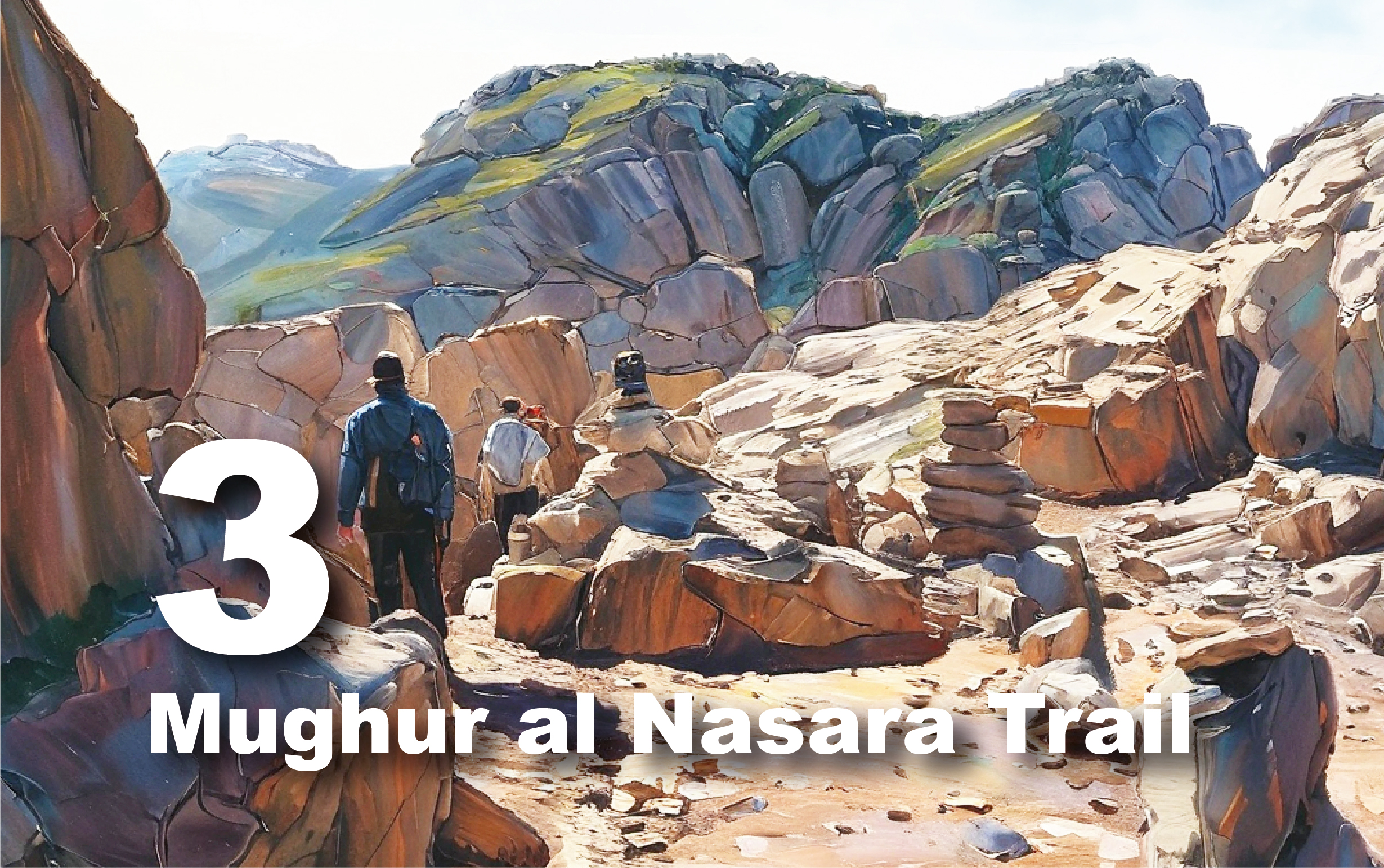
As you approach the end of Wadi
Al-Ghwaybah, the path leads you toward Siq Al-Mudhlim, a narrow gorge
approximately 200 meters long. Here, you’ll marvel at the towering rock
formations and the interplay of light and shadow, creating a mesmerizing atmosphere.
Ensure you have safety equipment for this section, as the footing can be
tricky.
After exiting Siq Al-Mudhlim, visitors
head south toward Jebel Sobha. Along the way, you'll see several irregular
wildlife traps shaped like small chambers, locally known as "Kafrah,"
which are simple structures used by locals for hunting animals.
Upon reaching the summit, enjoy
panoramic views of the surrounding landscape, which includes distant mountains
and valleys that stretch as far as the eye can see. The trail then descends
into Wadi Al-Rumayl, where you may find natural water pools. Be cautious in
this area, as the rocks can be slippery.
From Wadi Al-Rumayl, continue north to
Wadi Al-Sumaymah, where you’ll follow the path through lush greenery, enriched
by the seasonal rains. At the end of Wadi Al-Sumaymah, the trail merges with
Wadi Al-Ghwaybah, where you can observe an archaeological site known locally as
Khirbat Al-Rashih. Finally, the path ascends back to Arqoub Mas'ouda, where
your journey concludes, offering a sense of accomplishment and connection to
the land. 
Jabal Masouda Proposed Protected Area
Jabal Masouda, situated south of
Petra, is named after the region's tallest peak. This area features elevations
from 180 to 1,500 meters above sea level and encompasses three biogeographical
zones: Mediterranean, Irano-Turanian, and Saharo-Arabian.
Part of the Al Sharah mountain range,
Jabal Masouda boasts steep terrain and diverse vegetation, including juniper in
the highlands and acacia trees in the valley lowlands, alongside sandy dunes.
Covering 295 square kilometers, the proposed protected area includes limestone
mountains, scattered sandy patches, and sandstone escarpments, which make up
67% of the region. The landscape features rugged sandstone peaks and deep
wadis, creating a unique and vital ecosystem.
The region is a haven for various
wildlife and migratory birds. Notably, the Red-rumped Wheatear and the
endangered Egyptian vulture have been recorded here. The Royal Society for the
Conservation of Nature (RSCN) has identified 65 bird species in Jabal Masouda,
with 40 species nesting in the area. Recently, the Blanford fox (Vulpes cana),
a threatened species both locally and globally, was also documented. 
Trail/Geological Elements
Umm
Ishrin sandstone formation
(As
in Wadi al Mudhlim)
The sandstone in Petra originates from
the Umm Ishrin and Disi formations in Wadi Rum. Umm Ishrin sandstone, dating to
the Middle-Late Cambrian period, is characterized by red-brown, yellow, and
grey hues, with quartz pebbles. The Siq, a narrow gorge, is a product of water
erosion through this formation.