One-way walking distance
Duration
Level of Intensity
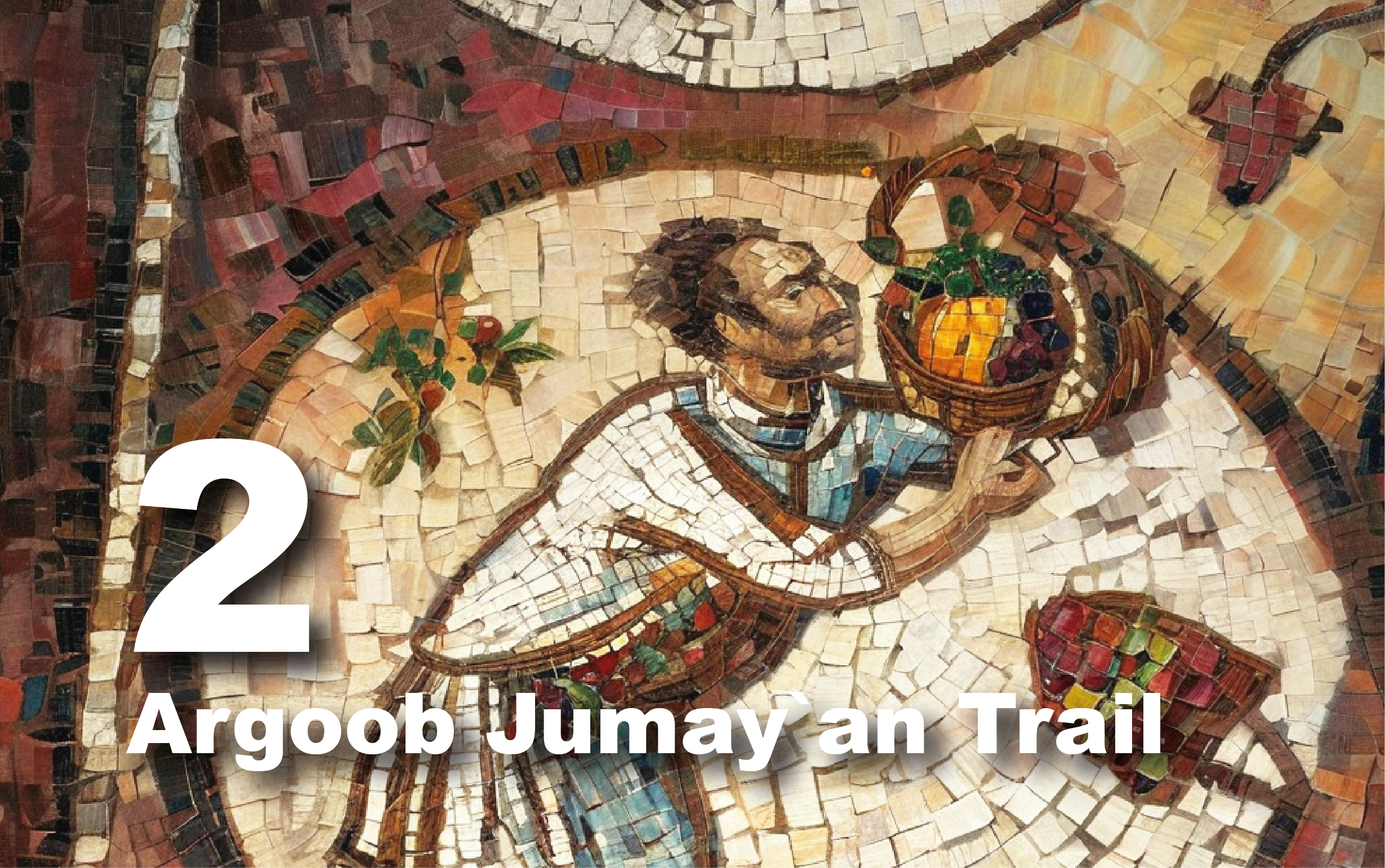
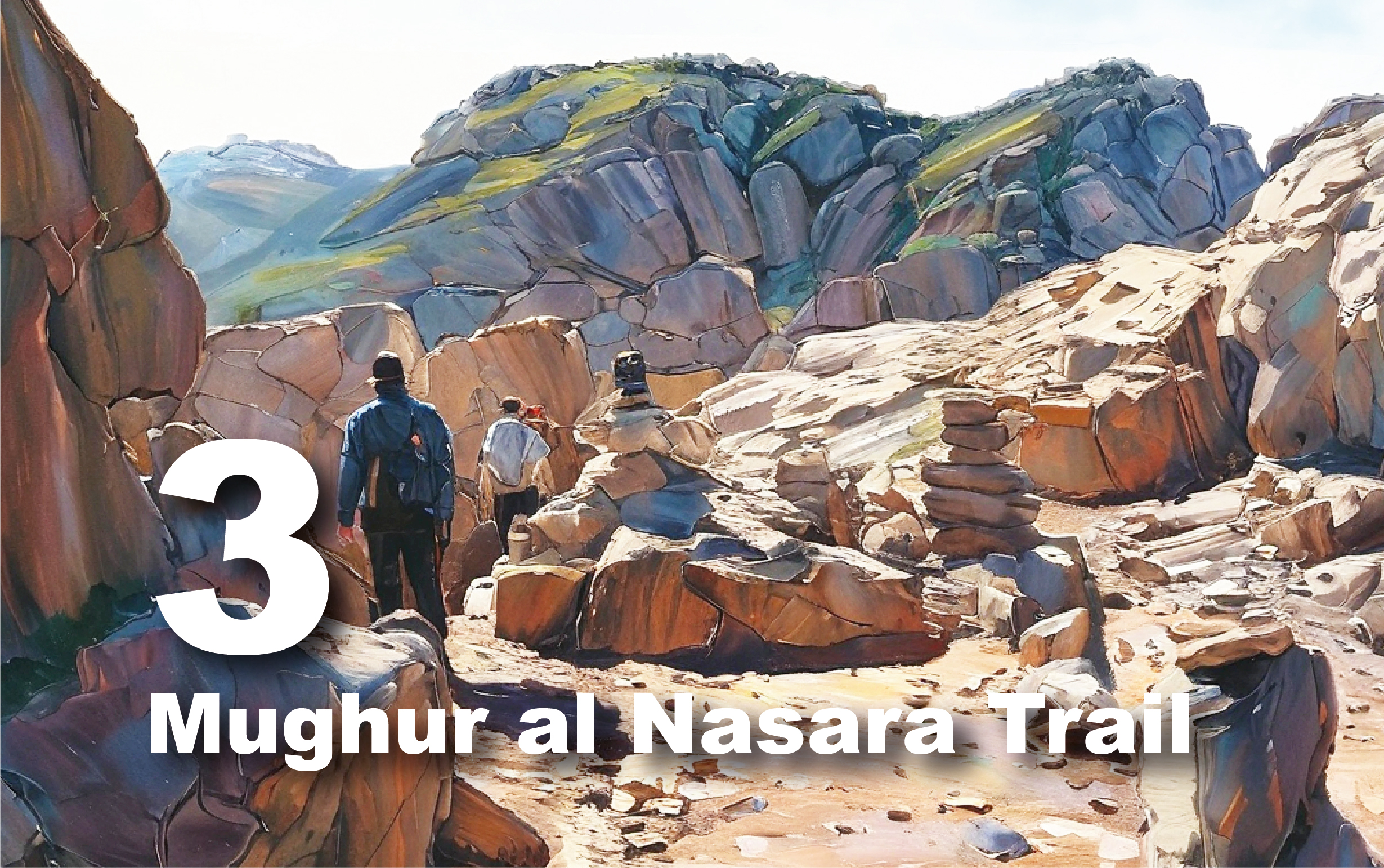
Batha 3 Trail
Embark on an
unforgettable journey through breathtaking landscapes and ancient wonders along
Al Batha Trail 3 – a perfect adventure for nature lovers and history
enthusiasts alike!
Al Batha 3 Trail
offers an unforgettable hiking experience through the stunning landscapes of
southern Petra. This 15 km trail takes you through scenic views of Wadi Araba,
the southern Petra mountains, and ancient Nabataean water systems. Along the
way, you'll encounter diverse geological formations, meet local Bedouin
communities, and visit archaeological sites dating back to the Neolithic and
Nabataean periods. Whether you're a geology enthusiast, a history buff, or a
nature lover, this trail offers a fascinating journey through both time and
nature.
Getting There
To begin the
trail, drive approximately 15 minutes from Wadi Musa/Petra to the small village
of Taybeh, nestled in the southern Sharah Mountains. This village is a great
place to grab snacks and cold drinks before starting your hike. From Taybeh,
follow the road heading west, which descends towards Al Batha. Along the way,
enjoy panoramic views of the valleys below, including Wadi Araba and the
southern Petra Mountains. When you reach the end of the paved road, the dirt
trail begins at the designated starting point in Al Batha.
Trail Details
Starting Point:
al Taybeh/Batha
Endpoint:
Petra/High Place
Category:
Heritage/Environmental/Geological
Distance: 15
Km/19685 Steps
Calories Burn:
787 Calories
Duration: 4.30 -
4.45 Hours/Non-stop
Grade: Moderate
Tour: One-way
Preparation Tips:
This challenging
15 km trail requires most of the day to complete, so be sure to plan your time
carefully to avoid finishing after dark. The terrain is rocky and rugged, so wear
sturdy hiking boots and weather-appropriate clothing. Bring plenty of water and
snacks to stay hydrated and energized throughout the hike.
Since the trail
includes cliffs and loose rocks, it's important to watch your step, especially
along the edges. This trail is not recommended for young children or elderly
hikers due to the challenging terrain.
Best Time to
Visit:
The best times to
hike this trail are in the winter months, but be cautious of hiking in the
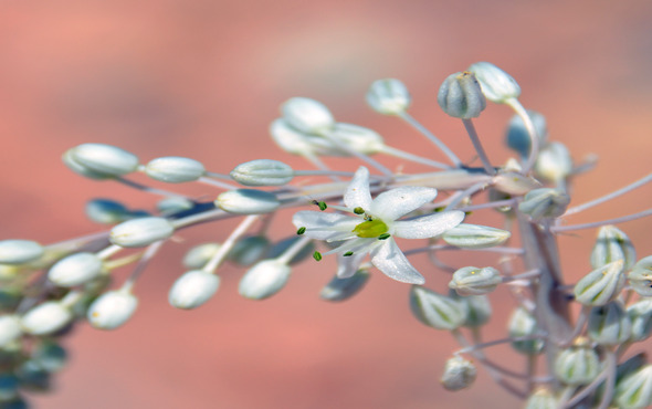
valleys during rain, as flash floods can occur. Spring is also a great time to
visit, when the landscape is in full bloom and the beauty of the flora enhances
the experience. Always check the weather conditions beforehand and make sure
you're well-prepared for the hike.
Exploring the
Trail
The trail starts
by descending into the valley, where you’ll soon encounter a fork. To the south
lies Wadi Tebin, but the main trail continues northwest towards Al Batha. As
you descend, geology lovers will enjoy seeing “Mantār al-Dhakhīrah,” a striking
rock pillar formed by natural erosion, about 1 km south of the main route.
Continuing along
the trail, you'll pass through Wadi Al Batha and may encounter members of the
local Saidiyyin Bedouin tribe, offering an opportunity to learn about their
lifestyle and traditions.
As you head west
through the valley, stop by one of the ancient Nabataean water reservoirs.
These fascinating structures showcase the Nabataeans’ impressive water
harvesting system, which helped sustain Petra.
Further along the
trail, the path levels out, offering spectacular views of Petra’s diverse rock
formations, including Disa sandstone and the red sandstones of Umm Ishrin.
Along the way, you'll pass some ancient ruins and have the chance to enjoy
birdwatching, with sightings of hoopoes, larks, owls, and kestrels. Heading
east, you’ll reach an unfinished Nabataean tomb, where you can examine the
unfinished carvings.
The trail
concludes at the summit of Jebel al-Madhbah, Petra’s highest peak, where you'll
be rewarded with panoramic views of the surrounding landscape.
The High Place of
Sacrifice
Like several
other Semitic cultures, the Nabataeans also engaged in worshipping their
deities at open-air high places, where sacrificial rituals were performed. This
particular Nabataean high place consists of a rectangular courtyard featuring
three carved benches known as a 'triclinium', along with a central low table
believed to have been the ceremonial master's seat. An altar is positioned to
the west, where baetyls, symbolic stone blocks representing gods, were likely
placed. Adjacent to the altar lies a platform housing a carved circular basin,
likely utilized for rainwater collection for purification purposes, alongside a
cup-shaped recess with a drainage system to dispose of sacrificial animal
blood. From the High Place of Sacrifice, visitors can enjoy sweeping panoramic
views encompassing Petra, Wadi Musa, and Aaron’s tomb.