One-way walking distance
Duration
Level of Intensity
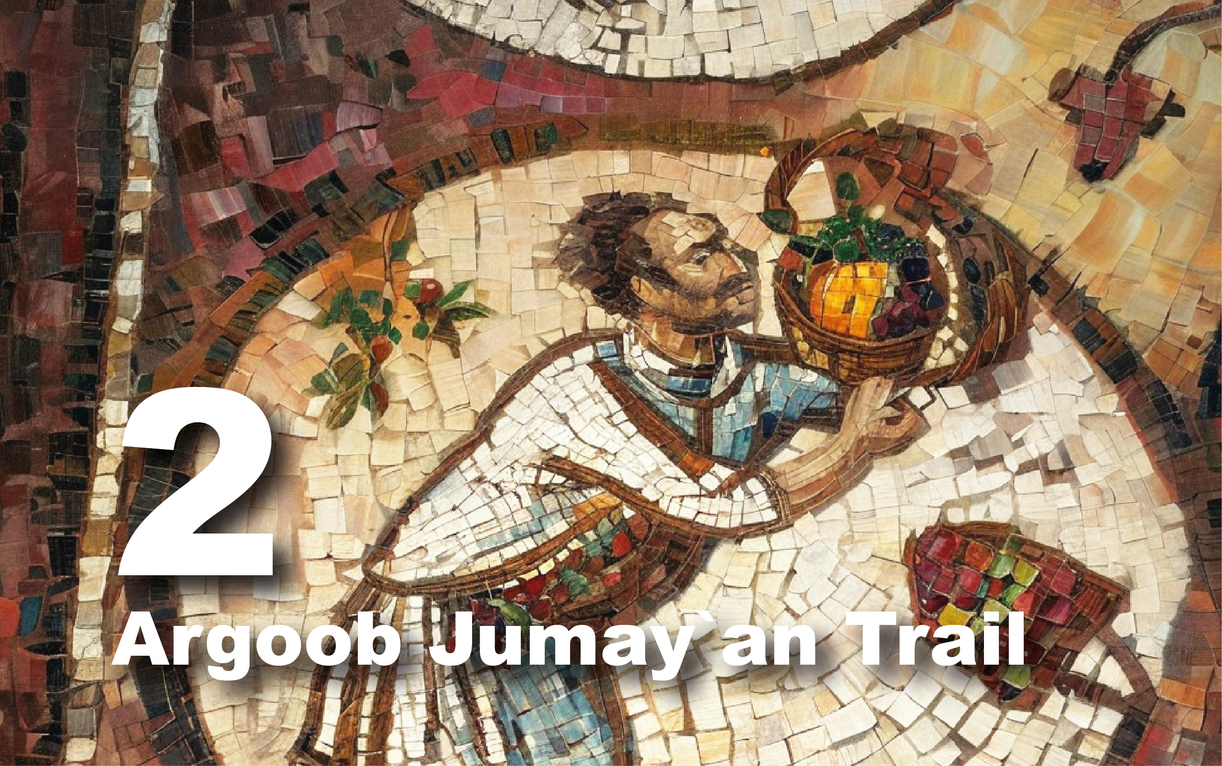
Batha 1 Trail
The Al-Batha 1
Trail offers a unique opportunity to explore the stunning landscapes
surrounding Petra. This 18 km trail leads through diverse terrains, featuring
geological formations, petroglyphs, and natural cisterns. It’s perfect for
nature lovers and adventure seekers looking to immerse themselves in the rich
history and beauty of the area. During the hike, visitors can watch various
species of flora and fauna, especially birds.
Getting There
To begin your
journey, take a tourist bus or drive to the village of Taybeh, situated about
10 kilometers south of the Petra Visitor Center. On your way, you will pass
through the village of Ain Amun and several four- and five-star hotels along
the scenic road of Wadi Musa and Taybeh, surrounded by breathtaking views.
Taybeh, located just 15 minutes from Petra, is a village where residents rely
on tourism, agriculture, and trade.
Trail Details
Starting Point:
al Taybeh/Batha/Wadi Tibn
Endpoint:
Petra/Jabal Harun
Category:
Heritage/Environmental/Geological
Distance: 18.8
Km/24672 Steps
Calories Burn:
987 Calories
Duration: 7.45 -
8.00 Hours/Non-stop
Grade: Difficult
Tour: One-way
Preparation Tips:
This challenging
trail spans approximately 18 km and will take a full day to complete. Plan your
time carefully to avoid being caught out after dark. Wear appropriate clothing
and sturdy shoes. The rocky terrain may have hidden cracks, so watch your step,
especially on edges. Bring enough water and food for the journey, as well as
safety equipment. The best times to visit are during spring or summer, but
avoid low areas during rain due to the risk of flash floods. Always check
weather conditions in advance. Inquire locally before planning your trek,
especially if traveling with children or the elderly, as the terrain can be
demanding.
Enjoy your
adventure on the Al-Batha Trail!
Exploring the
Trail
From Wadi
Musa/Petra to the village of Taybeh takes about a 15-minute drive. Once you
arrive in Taybeh, stop to purchase some food and cold drinks before starting
the trail. The route takes you west, leading down to Al-Batha. Don’t miss the
panoramic views of the valleys below, including Wadi Araba and the southern
Petra Mountain.
At the end of the
paved road, a dirt path begins at a designated starting point in Al-Batha,
descending toward the bottom of the valley. The trail then splits south toward
Wadi Tabin and north toward Al-Batha 3. As you proceed south, keep an eye out
for "Mantar Al-Dhakheera," a stunning geological formation shaped by
erosion, located about 1 km south.
Upon reaching
Wadi Tabin, head south through the natural rift that extends approximately 4
km. Signal reception may be lost mid-valley. As the valley narrows, look for
petroglyphs of ibex on both sides, stretching for about 50 meters. The end of
Wadi Tabin leads to Wadi Al-Raqi, where signal reception returns.
From Wadi
Al-Raqi, head north for about 200 meters, then turn northwest toward the
Al-Mazir'ah area, which is an uphill path. In Al-Mazir'ah, you will see
buildings known locally as "Al-Masān," built by Bedouins for storing
goat products. The ascent here offers a beautiful view of Jabal Harun and
northwest Petra.
After ascending
through Al-Mazir'ah, the path leads north but becomes easier as it descends
within Mount Al-Jathum. As you approach Wadi Sabra and the theater, you will
find a large rock cistern at the end of Mount Al-Jathum, with a Nabataean water
dam built at its northern end, feeding the upper cistern of the Nabataean
theater in Sabra.
Continuing from
the cistern, the path veers east to avoid rugged terrain and descends into Wadi
Sabra. When you reach the valley, head west toward the Sabra theater and the
surrounding residential and industrial area. After exploring this area, head
east across Wadi Sabra, then north toward the Al-Batāhi area, continuing north
for about 4 km until you reach the junction that connects Petra to Jabal Harun.
Upon reaching
this junction, you can head west to continue the trail toward Jabal Harun,
where it ends. Alternatively, you can head east to return to Petra. The path
from the base of Jabal Harun to the summit is steep and challenging.
The Sabra Theatre
The Sabra Theatre
exemplifies ancient Nabataean engineering prowess and cultural significance.
Located in a natural gully, the Sabra Theatre ingeniously utilized the terrain
to manage water, employing a sophisticated system of channels and basins to
control runoff. This small, horseshoe-shaped theater measures 39 meters wide
with an inner diameter of 22 meters, featuring tiered seating accessible via
stairways. Its 11 rows of seats could accommodate between 500 and 800
spectators, indicating its use for celebrations, social gatherings, and
theatrical performances. Constructed in the 1st century A.D. with additions
like a large stairway in the 2nd century A.D., the theater remained active
until the late Roman period. Its strategic placement within the suburban
settlement of Sabra suggests it served as a central hub for community
activities, reflecting the area's importance as a caravan city along a major
trade route. The archaeological remains at Sabra underscore its role as a
thriving urban center deeply interconnected with regional trade.
The Byzantine
Monastic Complex on Jabal Harun
Jabal Harun, or
Mount Aaron in Arabic, is a site of profound historical and religious significance
located in the Petra region. Believed to be the burial place of Aaron, the
brother of Moses (peace be upon them), this sacred mountain stands at 1,353
meters above sea level, offering breathtaking views of the surrounding area. It
served as a notable landmark along the ancient trade route to Sinai and Egypt
via the Naqb al-Ruba’i pass, attracting pilgrims and travelers throughout
history. In the 4th to 5th centuries AD, the Finnish Jabal Harun Project (FJHP)
uncovered a Byzantine monastic complex on this mountain. The complex included a
basilica, a later-added chapel, various associated rooms, a hostel for
pilgrims, and courtyards. The site measures approximately 62 meters north-south
and 48 meters east-west and remained in use until the 10th century AD. A mosque
was constructed at the peak of the mountain in the 14th century, with its white
dome visible nearly everywhere in Petra, often referred to as Aaron’s Tomb. The
site is known for its stunning views and remains a popular destination for both
locals and tourists.
The Shrine of
Prophet Aaron
The Shrine of
Prophet Aaron is a significant historical and religious site dedicated to
commemorating Prophet Aaron, the brother of Moses (peace be upon them). This
shrine has been a place of reverence for centuries. The small stone building,
measuring approximately 10×8 meters and topped with a dome, was constructed on
the remains of a Byzantine structure. Inside, the shrine features a simple
rectangular vaulted chamber with a notable small stone cenotaph and taller
pillars at each corner, with at least three of them possibly being reused
marble chancel posts from the earlier construction. An Arabic inscription above
the shrine’s doorway indicates that Sultan al-Nasir Muhammad, son of Qalawun,
restored the shrine in AD 1320. The dome crowns the shrine, and a crypt lies
beneath the prayer hall. The white shrine, perched atop Jabal Harun, is visible
from nearly everywhere in Petra. Historically, an annual autumn festival was
held to honor Prophet Aaron. During this event, locals would dress in
traditional attire, visit the shrine, spend the night, offer animal sacrifices,
and feast. The celebration also featured horse racing on the return journey.