One-way walking distance
Duration
Level of Intensity
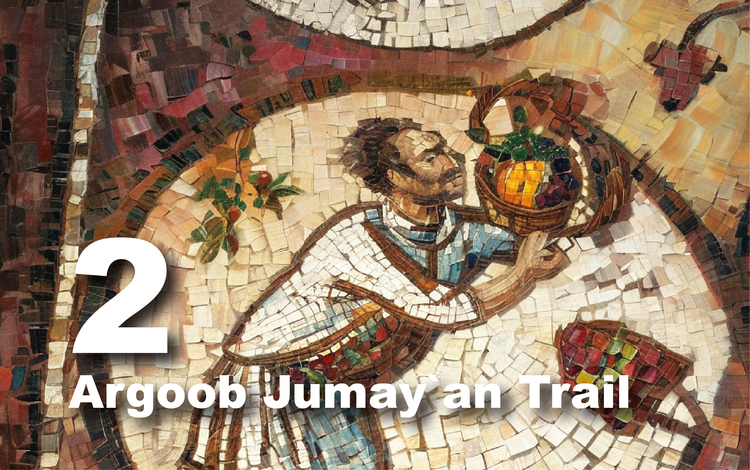
Gubur al Wuhaydat Trail
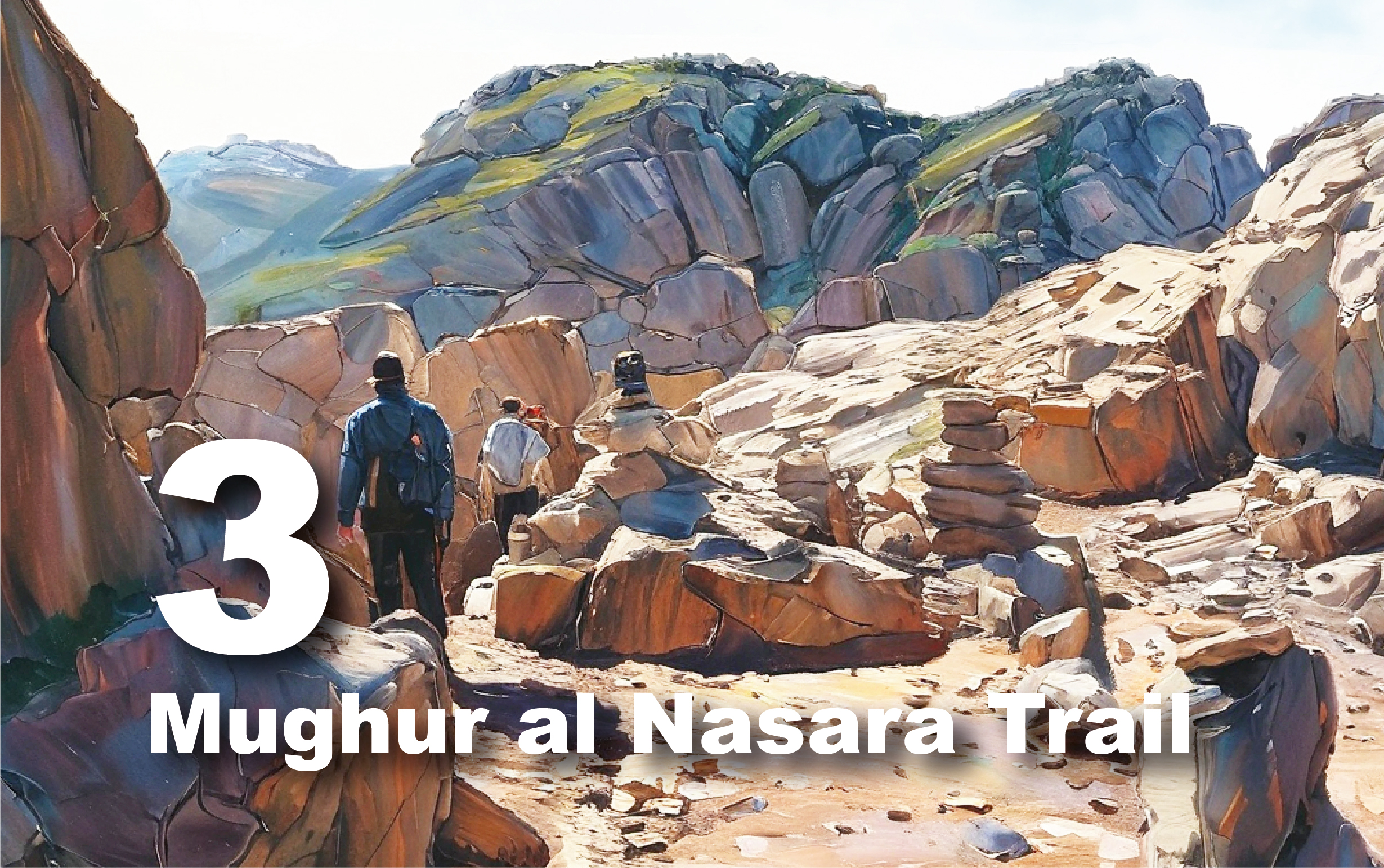
Trail
overview
Embark
on a scenic journey along the Gubūr al-Wuhaydāt Trail, where adventure meets
history. After passing through the dramatic Siq Umm al-‘Aldā and the Bayda
sewage treatment plant, the trail reveals a beautiful landscape of oak,
juniper, and ratama trees. As you leave the paved road behind and shift onto a
rugged dirt track to the right, you'll be greeted by the stunning sandstone
mountains of the Disa formations to the west and the Umm ‘Ishrin formations to
the east.
Explore
ancient history as you traverse this path, encountering fascinating Nabataean
and Roman ruins, including wine presses and water cisterns.
Approximately
6 km north of Bayhā, you'll find Gubūr al-Wuhaydāt (the Cemetery of
al-Wuhaydāt). This historic site is set on a low hill and features remnants of
early Nabataean structures. As you wander through the cemetery, you'll see
traces of wall lines and pottery sherds dating back to the late first century
and the second century CE. The graves, mostly simple with single tombstones or
slabs, occasionally include stone cairns and mounds that hint at more
significant burials. Notably, architectural stones from the ruins have been
incorporated into the graves. Look to the east, where the mountain overlooking
the Wuhaydat cemetery displays remnants of ancient Nabataean terraced farming.
Please arrange your trip in advance and inquire with the Visitor Center about
this trail.
Trail
Details
Starting
Point: Bayda/Siq al Barid
Endpoint:
Safaha/Gubur al Wuhaydat/al Matal
Category:
Heritage/Environmental/Geological
Distance:
10.3 Km/13517 Steps
Calories
Burn: 541 Calories
Duration:
3.15-3.30 Hours/Non-stop
Grade:
Easy/Moderate
Tour:
One-way
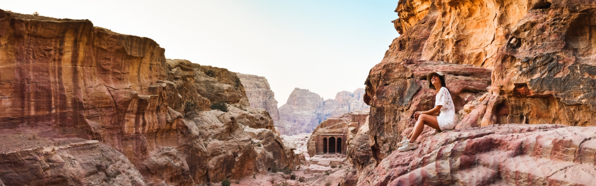
Siq
al-Barid, Bayda
Explore
Siq al-Barid: Petra’s Northern Gateway
Located
in Petra's northern suburb, Siq al-Barid served as a crucial resting place for
trade caravans traveling between southern Arabia and Gaza. Caravans would stop
here to rest, eat, and conduct business in the comfortable, shaded areas
provided.
Often
called ‘Little Petra,’ Siq al-Barid features a natural cleft in the rock,
similar to the main Siq but on a smaller scale, which forms the entrance to the
area. This gated complex includes a network of cisterns and dams, along with
dining halls and intricately carved facades. These amenities catered to the
needs of traders, with the cisterns providing essential water and Bayda being a
hub of agricultural production.
The
site also boasts several tricliniums or dining halls, which may have been used
for welcoming visitors and conducting ritual feasts. The practice of organized
feasting was well-documented by the ancient writer Strabo, who described how
the Nabataeans would host communal meals with musical entertainment.
Excavations have uncovered pottery statues representing musicians, which likely
replicate the performances at these feasts and provide insight into the
instruments used at the time.
Bayda
Church
Dating
from the 4th to 6th century AD, Bayda Church was originally a Nabataean hall
carved from rock. During the Byzantine era, it was converted into a church,
with modifications including the addition of an apse featuring a bishop’s chair
in the eastern wall. Small holes in the back wall likely supported a stucco
finish, while larger niches above may have held oil lamps for lighting. The
hall may have originally served as a religious space during Nabataean times.
This site is among several Nabataean structures repurposed by the Byzantines,
including the Urn Tomb and the Monastery, which also displays carved crosses.
Today, Bayda Church offers visitors a unique glimpse into the religious and
architectural transitions of ancient civilizations, making it a significant
destination for those interested in the rich historical and cultural heritage
of the region.
Explore
the rich history of Islamic Bayda
Located
about 7 kilometers north of ancient Petra’s city center, Islamic Bayda, also
known as Khirbet at-Baydha, reveals a fascinating chapter of history spanning
from the Nabataean to the Ottoman periods. Launched in 2014 under the guidance
of the Council for British Research in the Levant, the Islamic Bayda Project is
dedicated to uncovering this often-overlooked era.
The
project has revealed a habitation area and two mosques, marking the first of
their kind discovered in Petra and dating mostly to the late Islamic period
(Mamluk/Ottoman). One of the mosques, in remarkable condition, was built using
parts of a former Nabataean colonnaded structure and is accessed by several
steps leading down. Constructed with techniques still in use locally until
recently, it features non-rectilinear walls made of diverse reused materials
bonded with mud mortar. The roof, supported by two east-west arches and central
pillars made from reused column drums, was likely constructed with wooden beams
and mud. This mosque, which can accommodate up to 40 worshippers, probably
suffered damage from an earthquake and is now ready for conservation and
presentation.
The
other mosque, while similar in style, displays distinctive features such as
different proportions and north-south running arches. Built on earlier
structures, including Nabataean remains, it is notable for its red-painted
plaster covering large areas of the interior walls.
Bir
al-Arayis
Discover
the Historic Bir al-Arayis
Bir
al-Arayis is the largest enclosed cistern built by the Nabataeans in the
region. With a depth of around seven meters and a capacity of approximately 1.2
million liters, it was ingeniously designed to collect and store vast amounts
of water. The cistern was fed by channels that directed rainwater from the
expansive catchment area of the surrounding mountains.
This
vital water source served the residential area of Bayda and likely provided
water to trade caravans passing through on their way to or from Petra. To date,
around 200 Nabataean cisterns have been discovered in and around Petra.
Restored
for community use, the cistern is known locally as Bir al-Arayis, or "Brides'
Cistern." The name reflects a local tradition where brides would bathe
here in preparation for their wedding night, leaving their mark with a red
henna handprint. The bridegroom would then leave a black henna handprint.
Although the cistern is no longer used for this tradition, you can still see
some of these handprints along the upper part of the walls, though many have
faded over time.
The
Colonnaded Hall
Immerse
yourself in the splendor of ancient Nabataean opulence with the Colonnaded Hall
at Bayda. This remarkable site offers a glimpse into the luxurious lifestyle of
Petra’s elite during the Nabataean era. Situated in a picturesque area known
for its lush vineyards and thriving wine production, Bayda was a favored
retreat for the wealthy citizens of Petra seeking relaxation and entertainment
in a stunning natural setting.
The
remains of this grand complex, uncovered in 2005 by the American Center for
Oriental Research, reveal a magnificent hall perched on a dramatic promontory.
Constructed towards the end of the 1st century BC, the hall was designed to
serve as an exquisite venue for leisure and grand festivities.
The
hall’s reconstruction showcases its former grandeur. It was adorned with
elegant columns topped with capitals intricately carved with grapes, vines, and
divine figures. Excavations uncovered 31 human-headed capitals representing
Greco-Roman deities, including Venus, Bacchus, Demeter/Ceres, Dionysus, Hebe,
Heracles/Hercules, Hermes/Mercury, Pan, Persephone/Kore, and Zeus/Jupiter.
These
artistic features highlight the hall’s luxurious nature and its connection to
divine themes, particularly those associated with Dionysus, the god of wine and
revelry. The hall’s design underscores its role as a center for opulent
celebrations and a testament to the wealth and cultural sophistication of the
Nabataean elite.
Twin
Obelisk Stelae Carved on a Rock Surface in Siq Umm al-'Alda
Siq
Umm al-'Alda, where the Twin Obelisk Stelae are Carved into the Rock Surface,
is a Historically Significant Site. Located just 2 km north of Siq el Barid,
this ancient passageway once connected Petra with Wadi Araba and Bir Madkhur.
It played a crucial role in trade, linking Petra to the Mediterranean port of
Gaza. The area is notable for its rock-cut cisterns designed to collect
rainwater and numerous dams for managing floodwaters.
At
the entrance to this scenic gorge, you'll find the impressive twin obelisk
stelae, intricately carved into the rock. These stelae, adorned with a
Nabataean inscription, are linked to a shaft tomb. Their obelisk shape is
culturally significant for the Nabataeans, often associated with burial
practices and the souls of the deceased, referred to as ‘nefesh,’ a term
related to the Arabic word for ‘self.’
A
Greek inscription from around 416 AD, written in red ink, mentions a financial
officer named Neros, who was responsible for overseeing the area’s water
systems and caravan routes. Today, Siq Umm al-'Alda remains a popular
recreational spot for locals.
The
gorge is also adorned with ancient juniper and oak trees that have thrived for
centuries. Visitors can admire numerous Nabataean inscriptions etched into the
rock faces, adding to the historical allure of the site.
Winepresses
Uncover
the Ancient Winepresses of Bayda
The
Bayda area is renowned for its wine presses, highlighting its role as a major
center of wine production in Nabataean culture. To date, 36 wine presses have
been discovered in Bayda, mostly situated near or within agricultural fields.
This fertile region, home to many of Petra’s farms and vineyards, produced
enough wine to supply both the residents of Petra and its visitors.
The
wine presses, carved from rock, feature a standardized design with three main
sections: a rounded treading floor, a rectangular intermediate vat, and a rounded
collecting vat. Grapes were placed on the treading floor and stomped to release
their juice, which then flowed into the intermediate vat for initial filtering
before being collected in the final vat. Steps carved into the rock leading
down to the collecting vat can still be seen.
Wine
was not only a staple of daily life but also held spiritual significance for
the Nabataeans, associated with deities such as Dionysus, the Greek god of
wine. Ritual feasting in banqueting halls near tombs often involved drinking up
to 11 cups of wine. Vines were a popular motif in Nabataean art, featured in
frescoes like those in Siq al-Barid, as well as on pottery, column capitals,
and sculpted figurines.